Log in
All resources
Create a design
38,808 Free Images of 1876 Maps
maps in the library of congress
new york
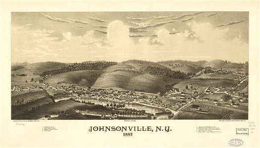
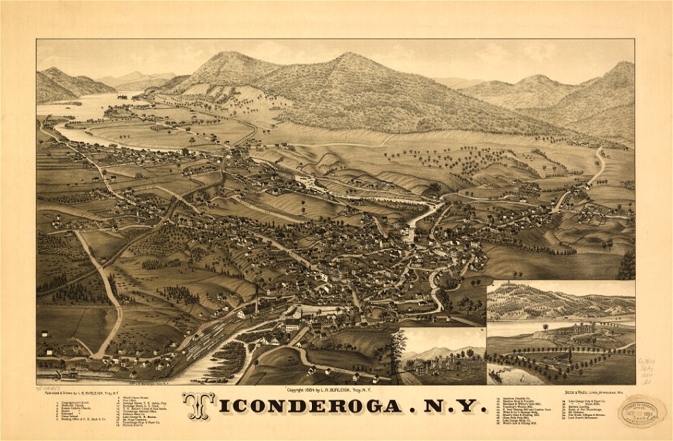
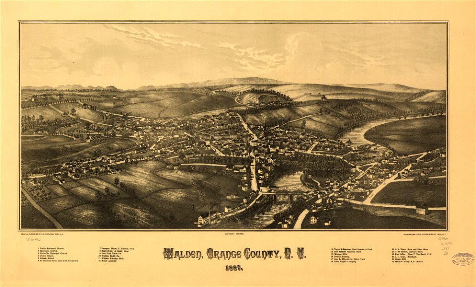
l. r. burleigh
town maps by l. r. burleigh
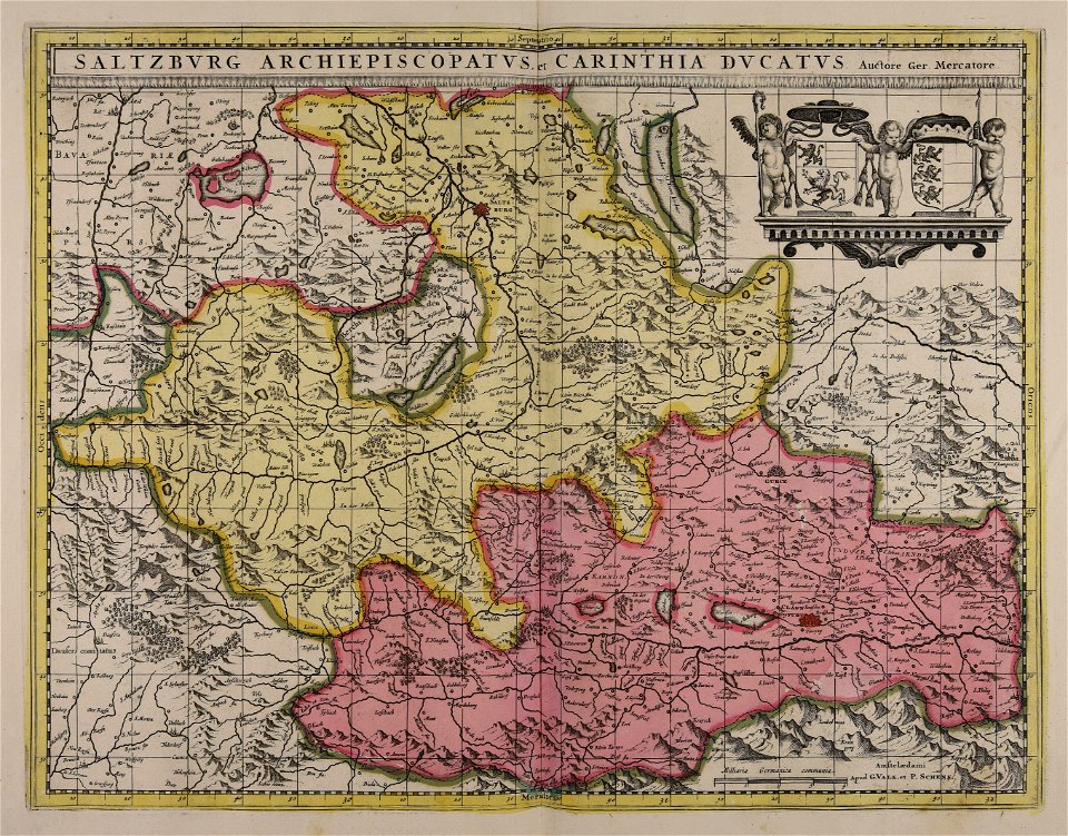
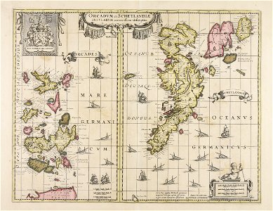
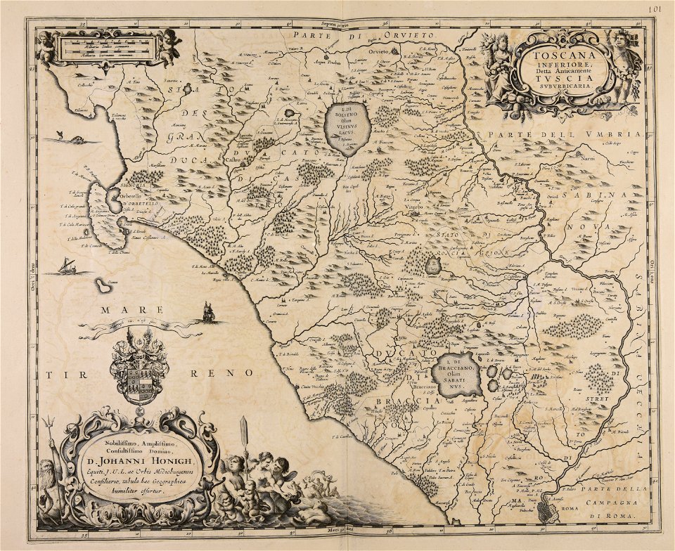
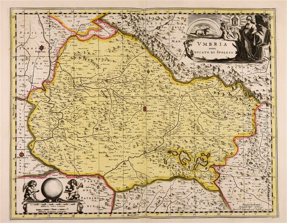
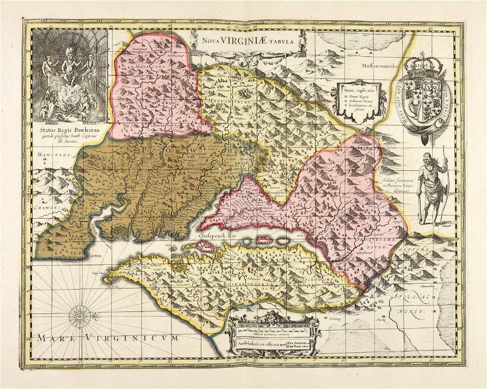
maps made in the 17th century
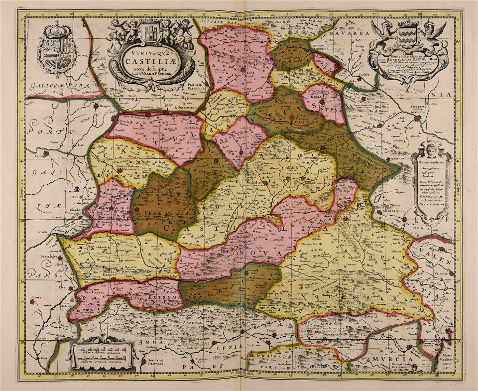
maps by pieter schenk (i)
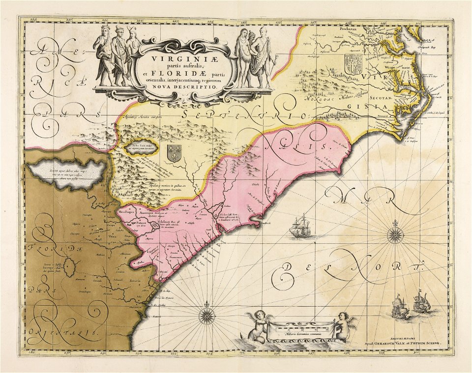
gerard valck
1887 maps of new york (state)
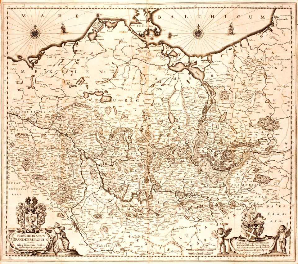
atlantis magni tomus quartus (biblioteca comunale di trento)
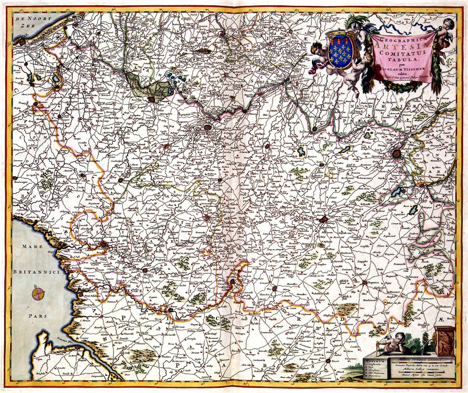
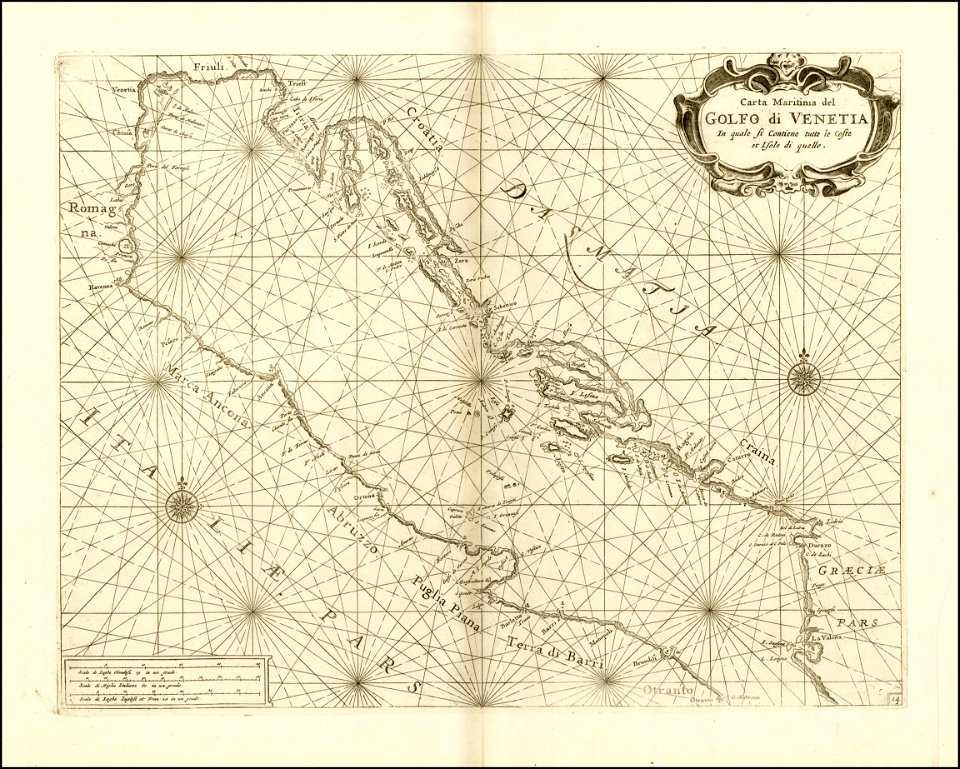
maps with cartouches
maps made in the 17th century
gerard valck
maps made in the 17th century
gerard valck
the comprehensive history of england (1876)
english-language maps showing history
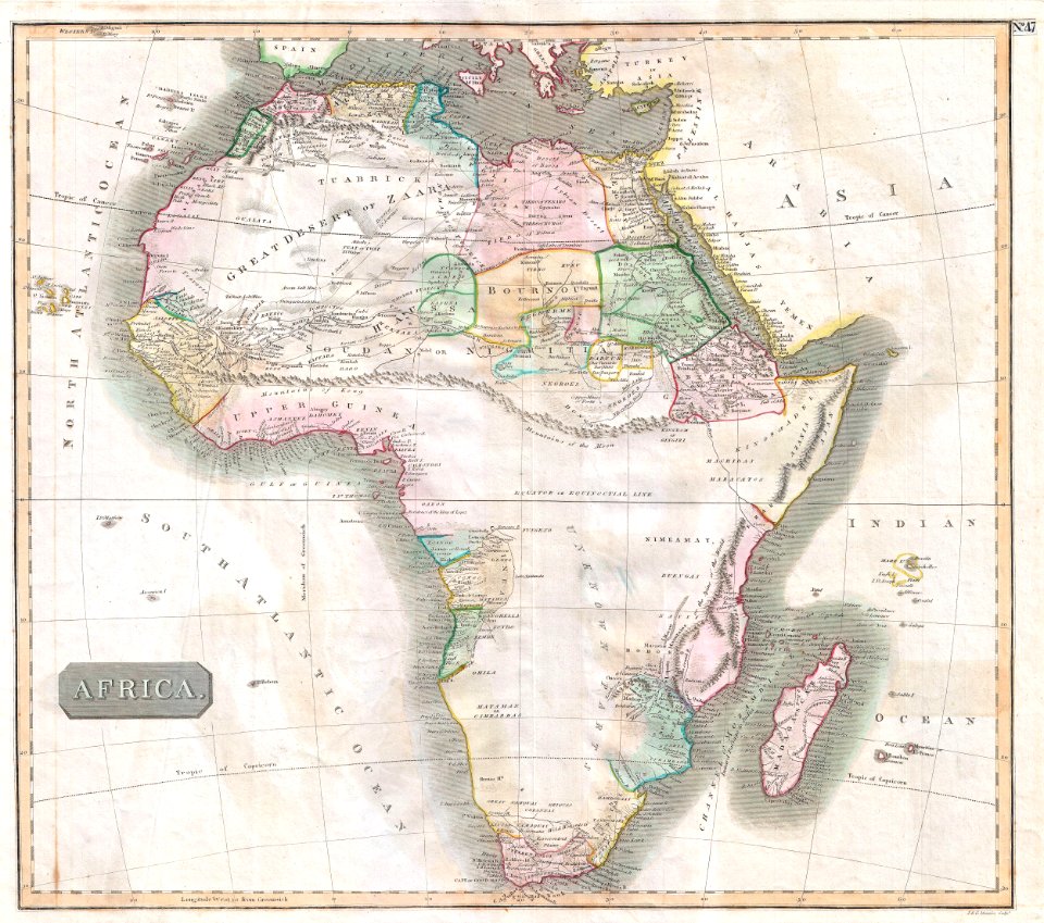
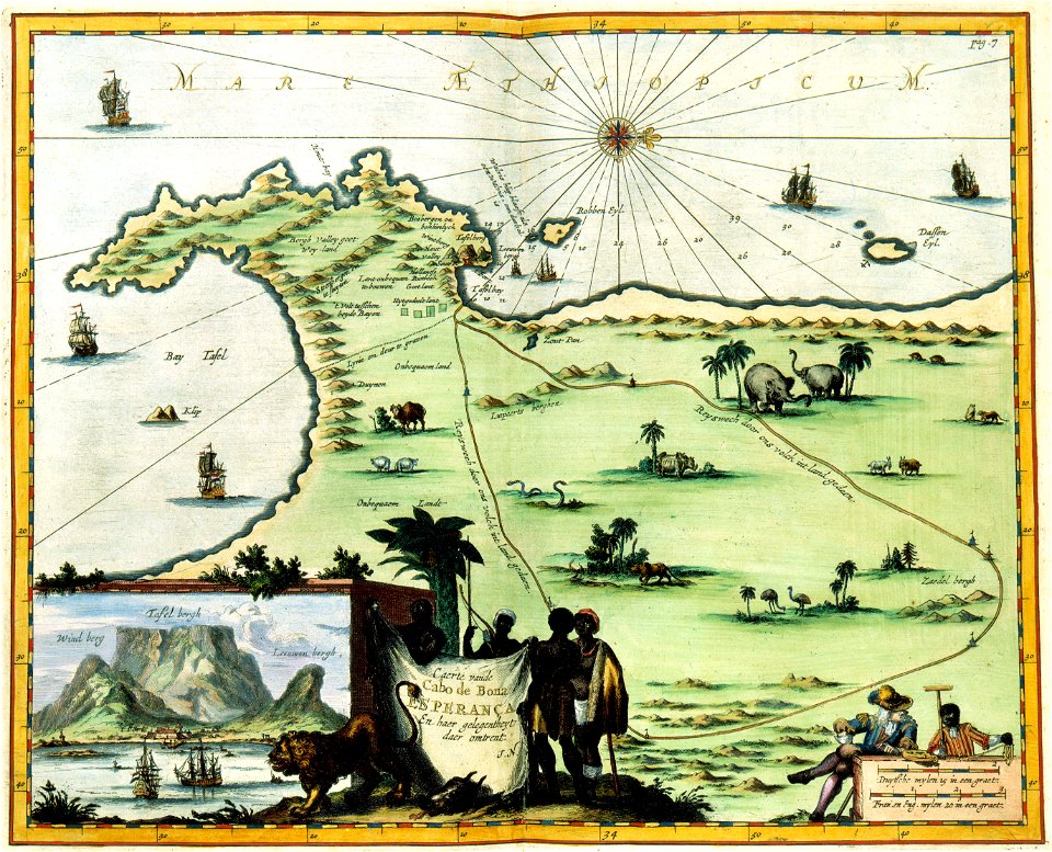
africa and its inhabitants, vol. ii
charles eugène perron
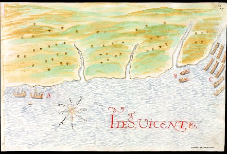
history of saint vincent and the grenadines
pictorial maps
the illustrated london news 1876
harper's weekly, 1876
19th-century portrait paintings in the united states
female
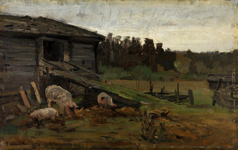
paintings of pigs
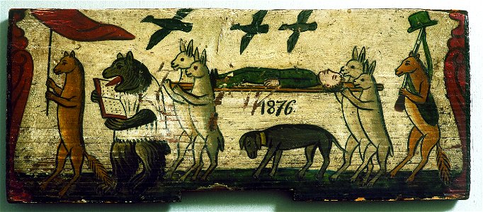
painting on barn
19th-century paintings in the nasjonalmuseet for kunst
arkitektur og design
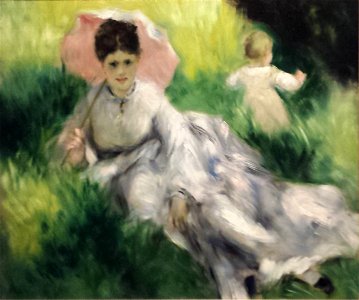
1876 paintings by pierre-auguste renoir
1870s paintings from france
19th-century paintings in the nasjonalmuseet for kunst
arkitektur og design
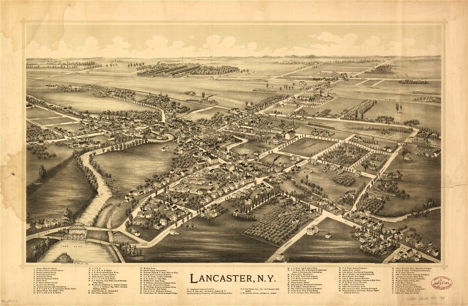
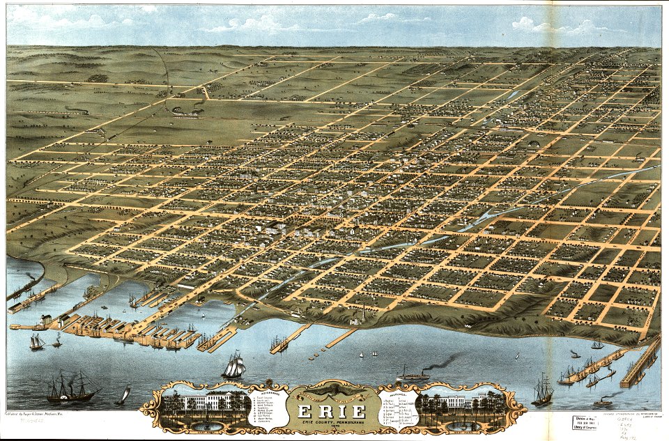
erie county
new york
erie county
new york
maps from the mechanical curator collection
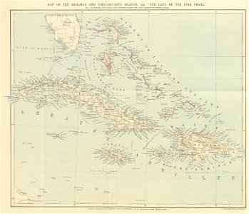
the land of the pink pearl
maps from the mechanical curator collection
william peel (royal navy officer)
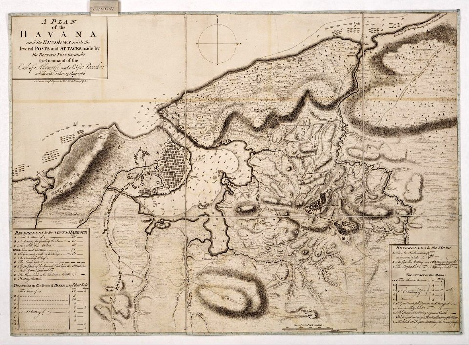
morro castle (havana)
london
prints from dankaerts historis at the peace palace library
hendrik hondius (i)
atlas van der hagen (volume 3)
maps with cartouches
l'illustration
1853
historical images of solothurn
carl durheim
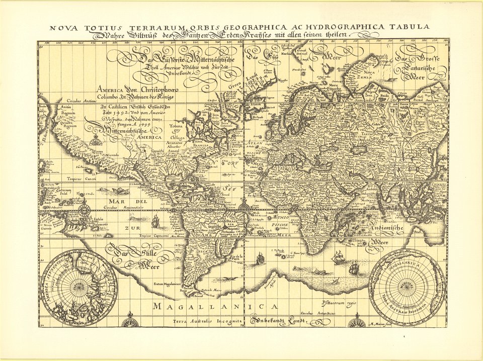
johann baptist homann
old maps of greece
zhangye
lanzhou
important cultural property of japan in tokyo
maps in the national archives of japan
maps made in the 17th century
gerard valck
fonds ancely - bibliothèque municipale de toulouse - maps
frédéric-auguste laguillermie
fonds ancely - bibliothèque municipale de toulouse - maps
victor levasseur - maps of france
fonds ancely - bibliothèque municipale de toulouse - maps
jean bart
maps in the library of congress
new york
old maps of new york (state)
new york
new york
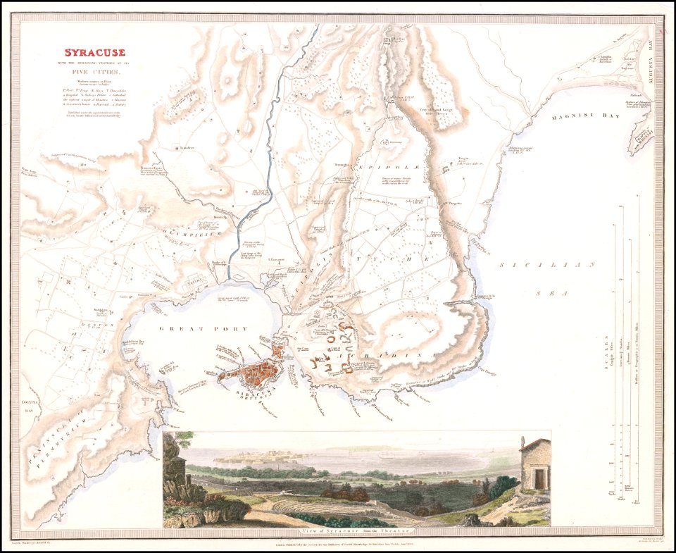
corinth
maps made in the 18th century
gerard valck
maps by frederick de wit
maps with cartouches
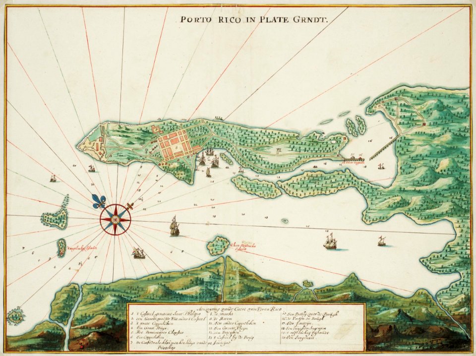
puerto rico
1665
atlantis magni tomus primus (biblioteca comunale di trento)
17th-century maps of schleswig-holstein
new york
delhi
maps by jacques-nicolas bellin
jacques-nicolas bellin
european exploration of africa
maps by john thomson
maps with cartouches
copper engraving
maps with cartouches
old maps of france
atlas van der hagen (volume 4)
maps with cartouches
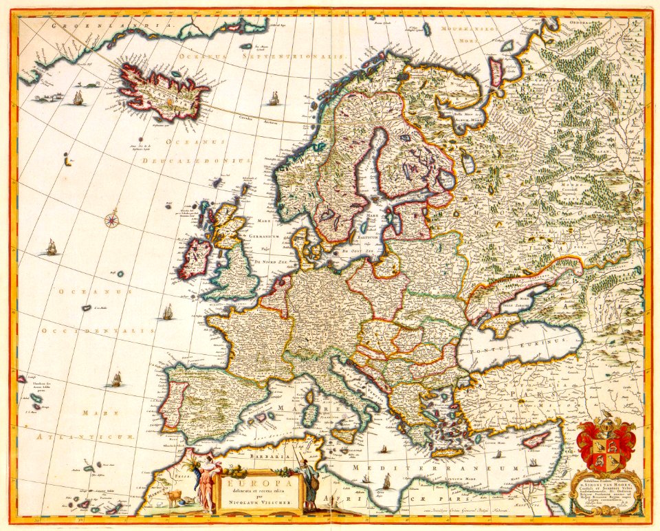
maps by nicolaes visscher i
old maps of upper austria
new york
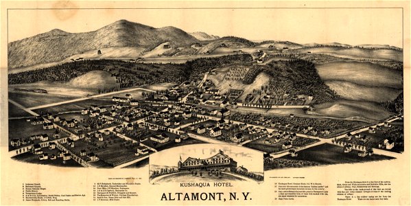
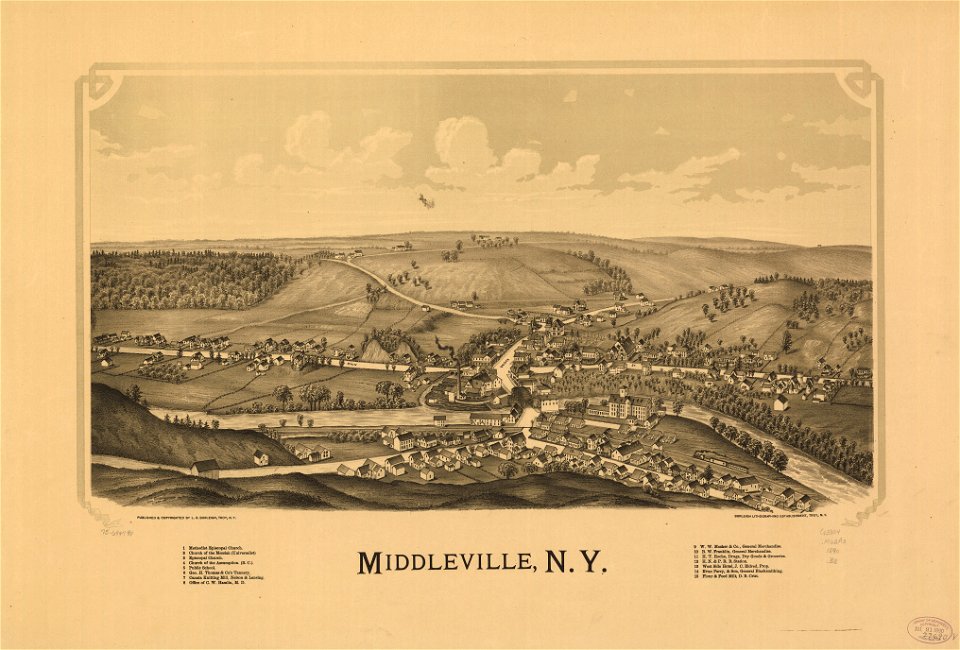
altamont
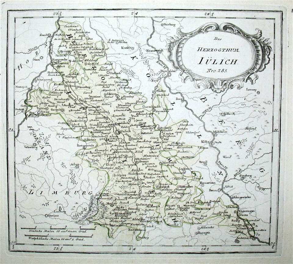
old maps of north rhine-westphalia
netherlands
maps made in the 17th century
maps by pieter schenk (i)
old maps of new york (state)
new york
hand-drawn maps and views of world war i battlefields by h.m.
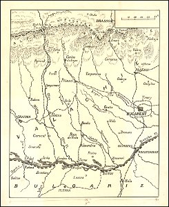
old maps of wallachia
maps made in the 17th century
gerard valck
maps made in the 18th century
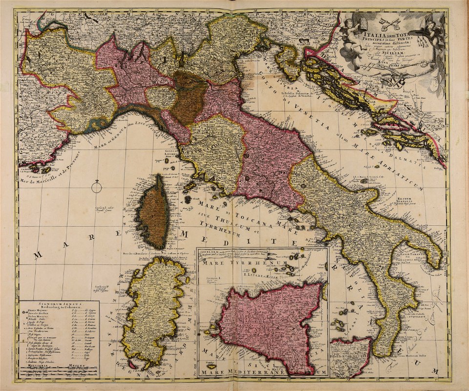
18th-century maps of italy
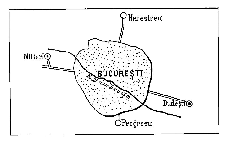
bucharest
military
maps in the library of congress
new york
maps made in the 17th century
jan janssonius
maps made in the 17th century
gerard valck
ticonderoga
new york
maps made in the 17th century
gerard valck
maps made in the 17th century
gerard valck
maps made in the 17th century
gerard valck
new york
walden
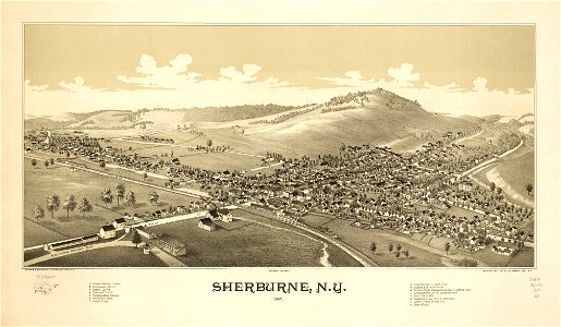
sherburne
new york
new york
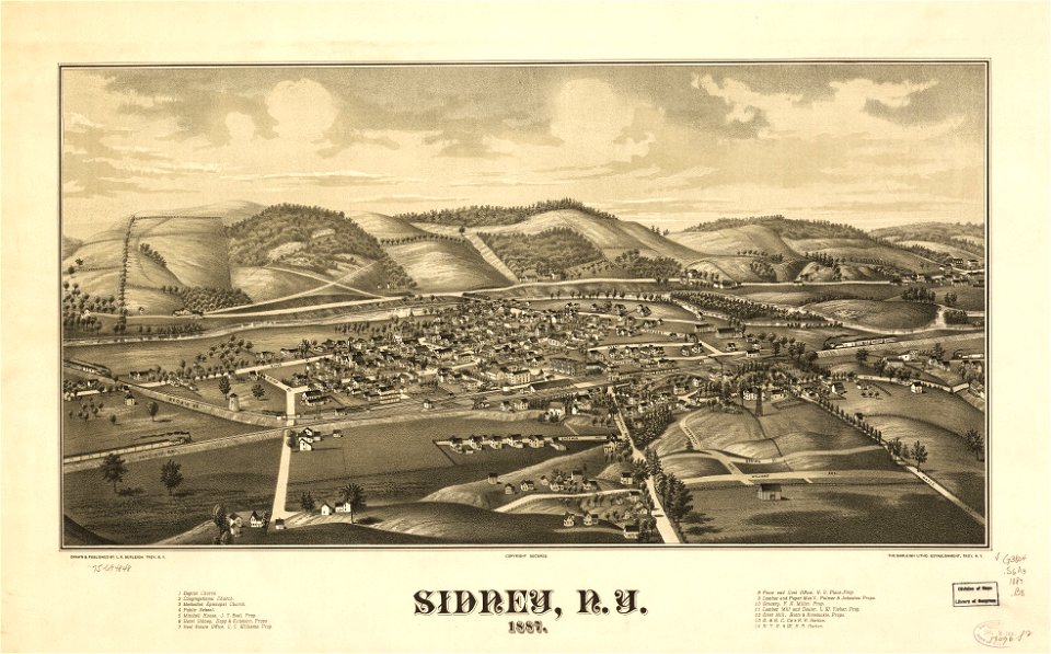
sidney
maps in the library of congress
new york
maps made in the 17th century
gerard valck
new york
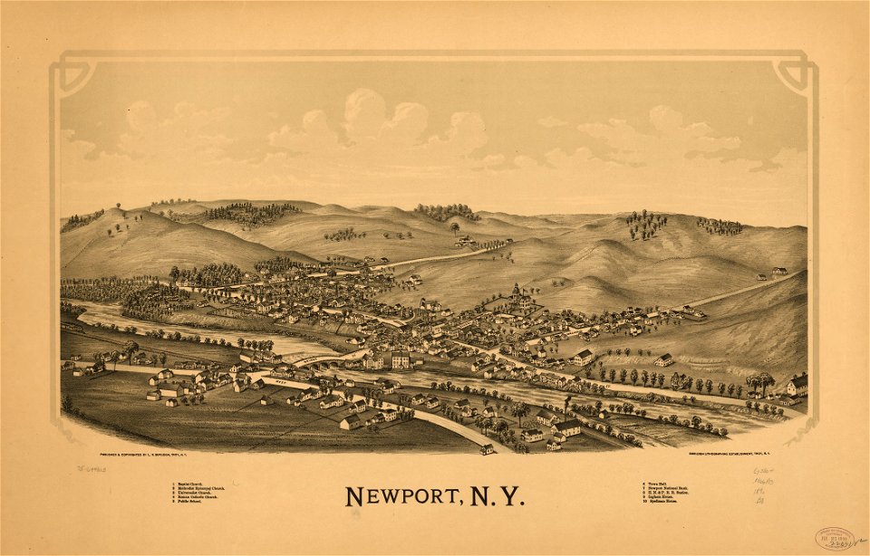
newport
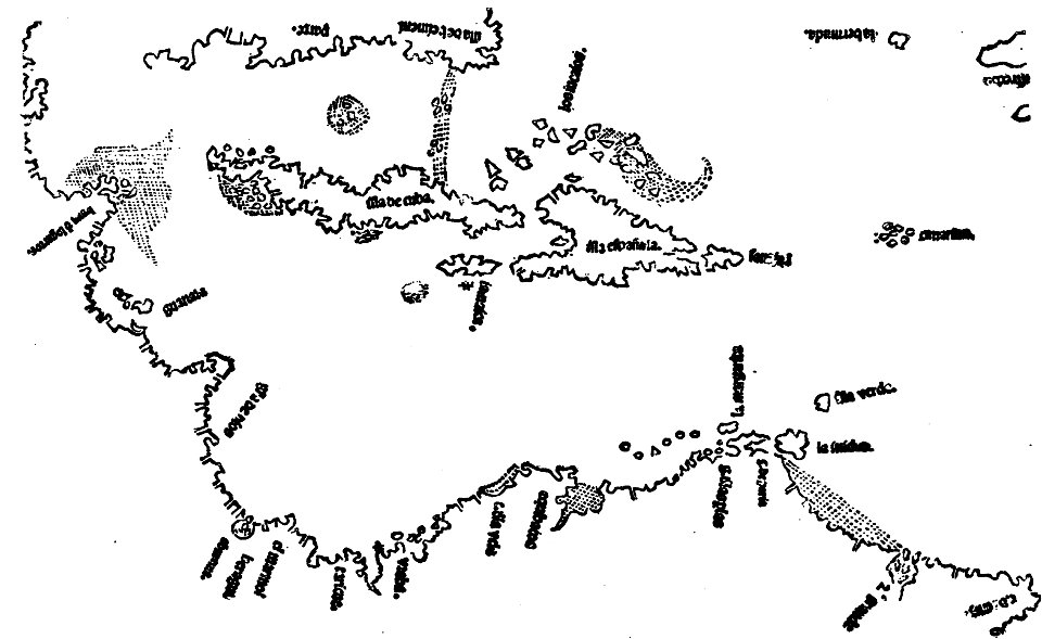
images from the john carter brown library
1500s maps of the caribbean
maps by brockhaus
1937 in paris
maps by brockhaus
1937 in paris
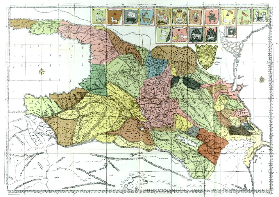
description of kingdom of georgia
its habits and canons
maps in the library of congress
new york
maps made in the 17th century
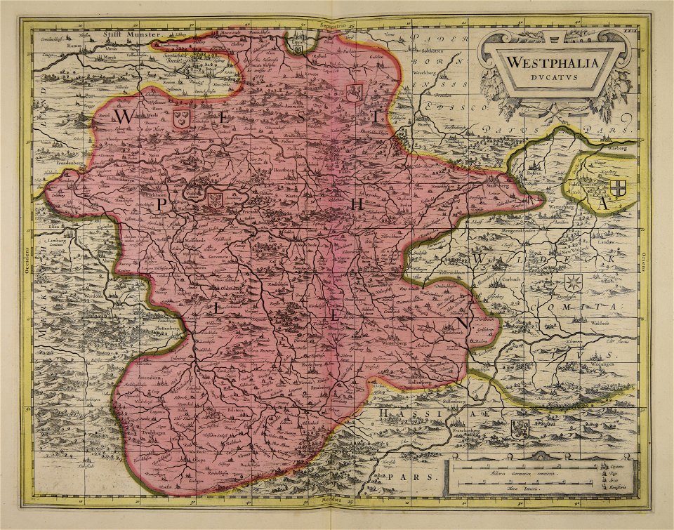
old maps of westphalia
new york
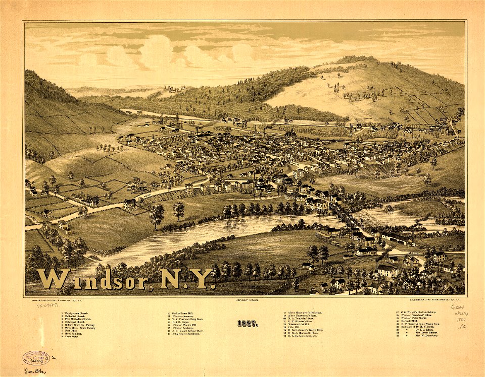
windsor
new york
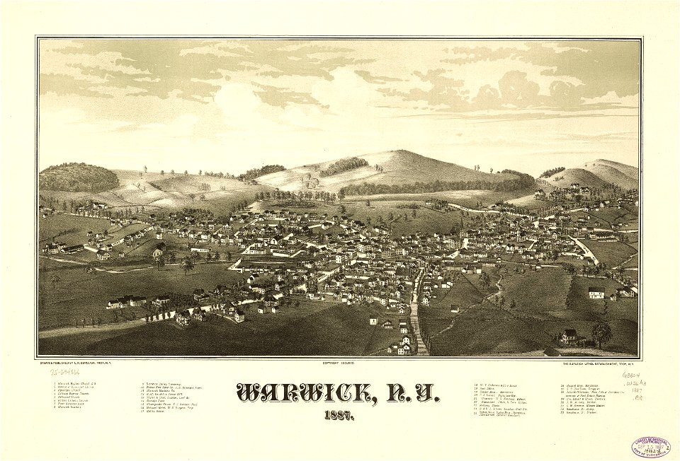
warwick
autoportrait à trente-cinq ans, 1876, by renoir
impressionism
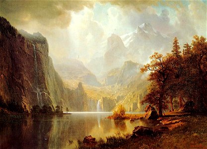
1876 landscape paintings
california
works by pierre-auguste renoir by fezzi number
theatre in art
beehive panel paintings in the museum of apiculture
radovljica
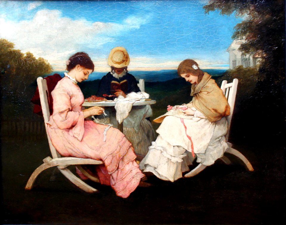
realist genre paintings
1870s genre paintings
works by pierre-auguste renoir by fezzi number
boston
sisters in art
female
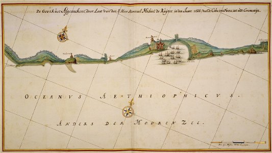
johannes vingboons
1666 maps
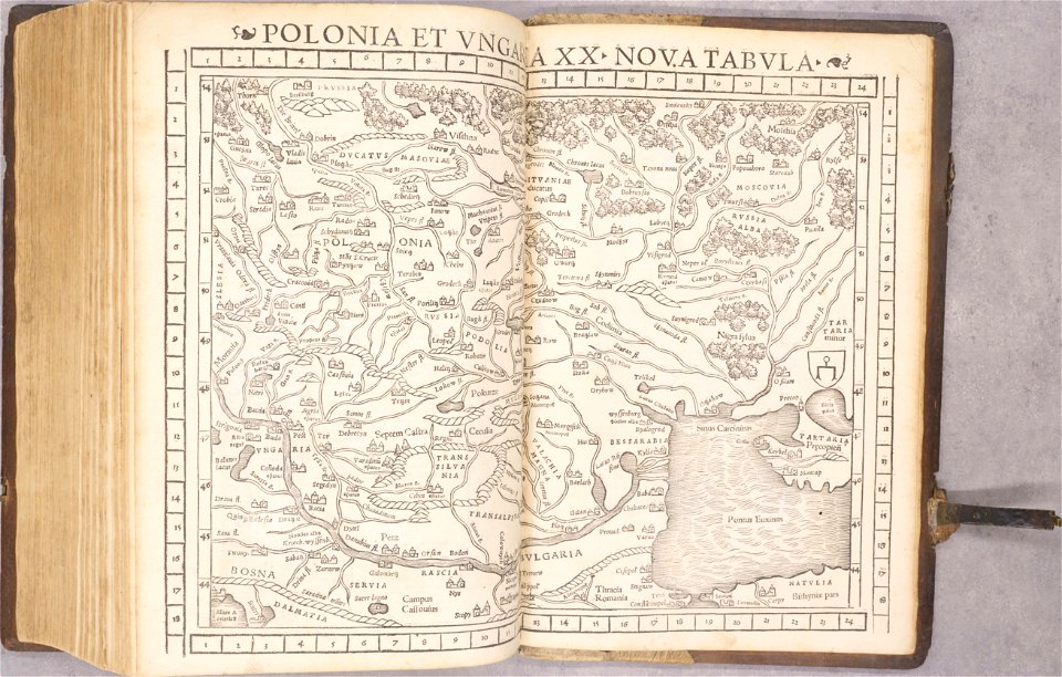
old maps of poland
1552
old maps of spain
1552
maps in the national library of australia
matthäus merian
vincenzo coronelli
1690s maps
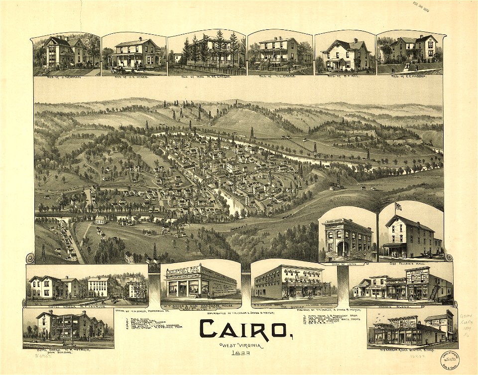
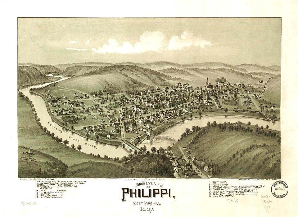
west virginia
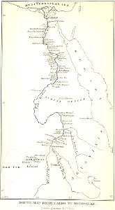
cairo
west virginia
cairo
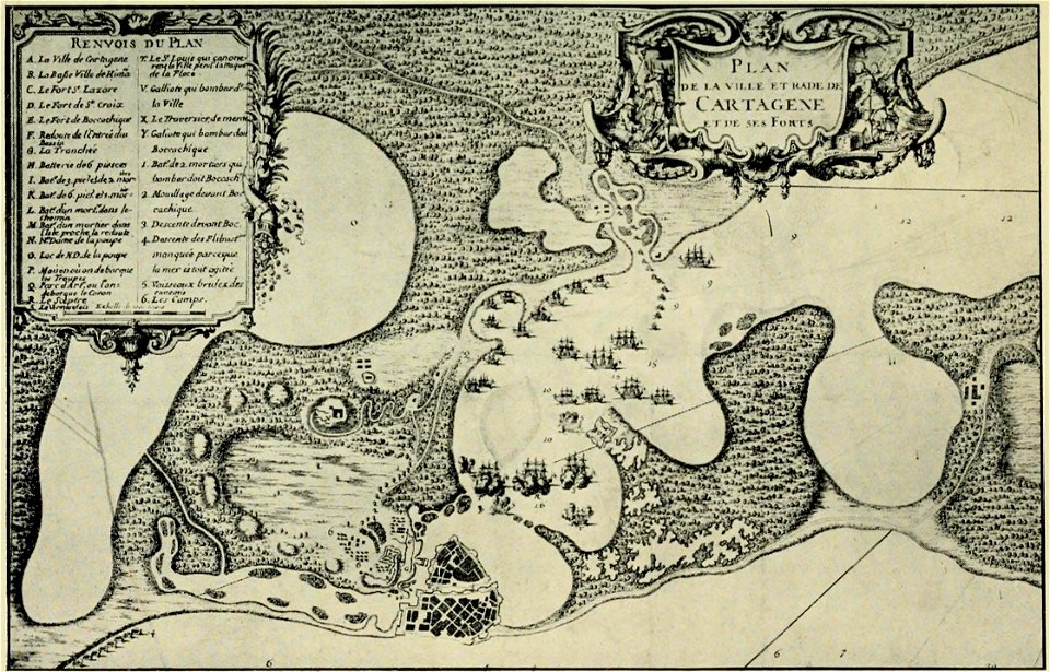
old maps of cartagena
colombia
new york
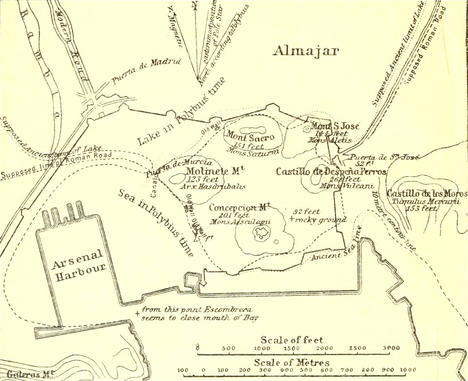
carthage
1902 maps
spain
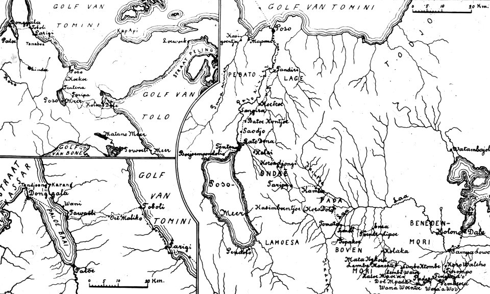
walter kaudern expedition to celebes
20th-century maps of indonesia
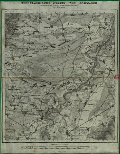
charte von schwaben (bohnenberger)
old maps of the danube
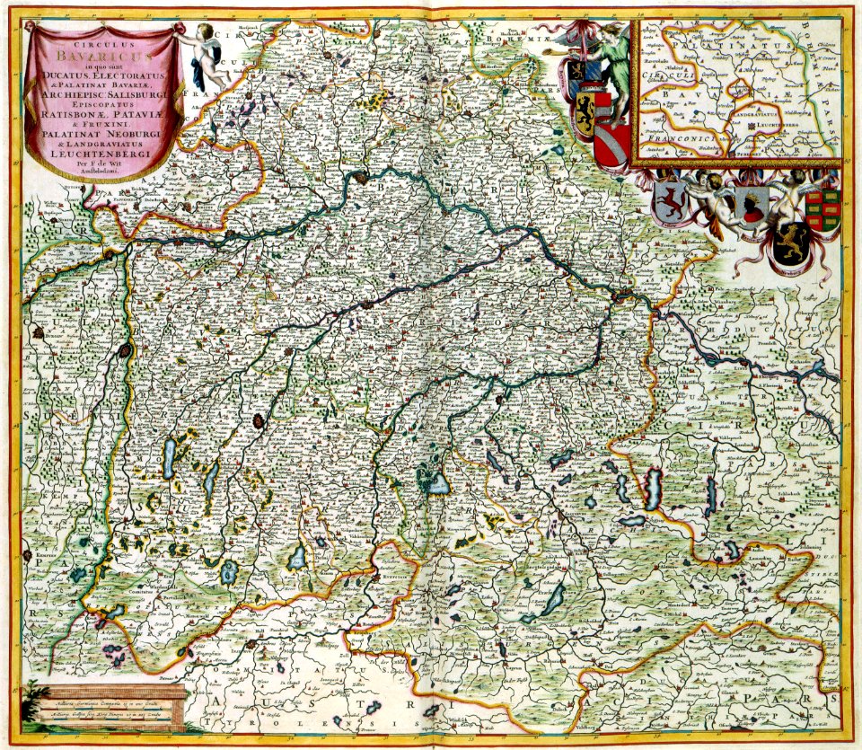
19th-century maps of bavaria
staffelsee
old maps of rhineland-palatinate
old maps of bas-rhin
west virginia
philippines
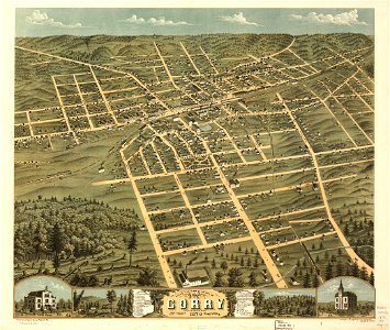
maps in the library of congress
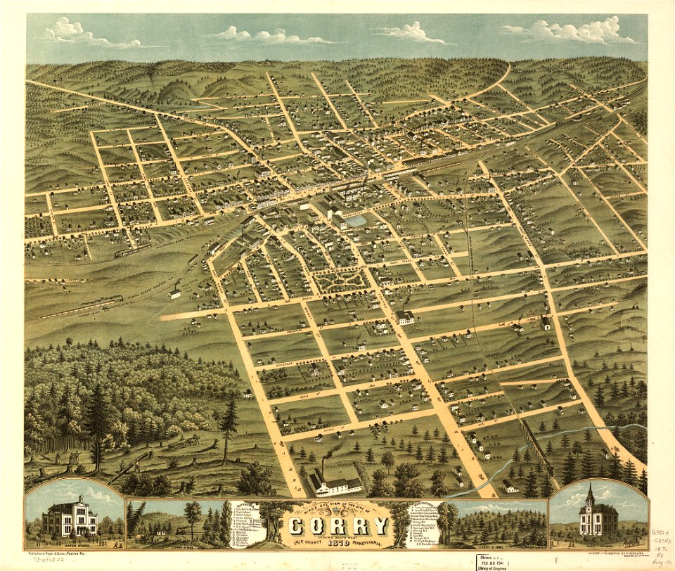
pennsylvania
maps in the library of congress
pennsylvania
west virginia
philippines
maps in the library of congress
pennsylvania
maps in the library of congress
pennsylvania
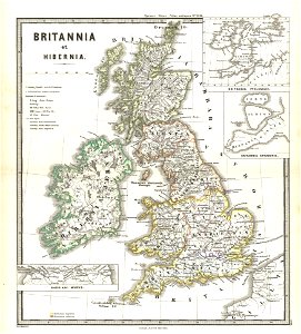
old maps of the british isles
karl spruner von merz
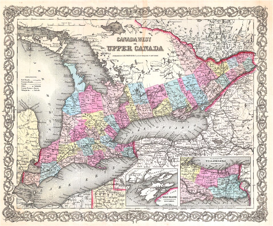
maps by joseph hutchins colton
upper canada
society for the diffusion of useful knowledge (great britain)
1839 maps
5101 - 5200 of 38,808
Next page
/ 389